Saturday, December 8, 2012

History Repeats Itself


History repeats itself. This philosophical idea has proven to be true time after time. According to this philosophy, we can determine the future 
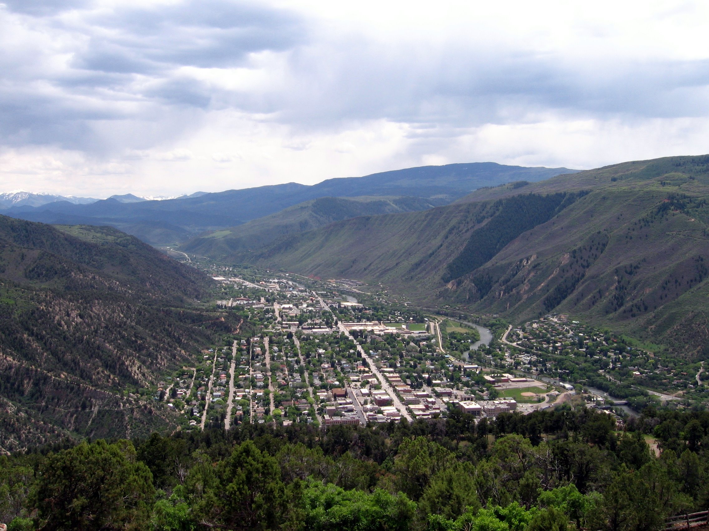
physical geography of Glenwood Springs by looking at its past. 
Historical Events
In this blog we have already established that mechanical weathering, salt weathering, and frost weathering, along with thrust faulting and continental uplift, have occurred to create the geography of Glenwood Springs that we see today.  
Recent Events
 Now let’s look at the geographical events that have taken place more recently. Debris Flows are a form of mass wasting; they are fast moving slabs of mud, earth, and large rocks. They are usually caused by excess rain on a suitable incline. In 1995 a Debris Flow occurred on Storm King Mountain closing a section of I-70. The debris created an alluvial/debris fan in the Colorado River (shown in Figure One).  In 1998 another Debris flow covered 600 feet of Colorado Road 109 just outside of Glenwood Springs (shown in Figure Two).  This debris flow is believed to be the result of accumulated debris causing over saturation of the ground over many years.
 
Figure One: Picture of the 1995 Storm King Mountain debris flow. (Colorao Department of Natural Resources, 2000)
Figure Two: Arial shot of the 1998 CR 109 debris flow. (Colorao Department of Natural Resources, 2000)
     
Climate
The climate of an area can have a profound effect on its geography. The climate can accelerate or delay all forms of weathering and increase or decrease the number of debris flows. A warmer climate increases the amount of precipitation that an area receives. This increased precipitation augments the number of debris flows and accelerates the weathering processes that occur in the area.  The more weathering and debris flows an area experiences, the faster the land degrades and flattens out. Colder climate can increase frost weathering, which is how the Glenwood Canyon was formed during one of the past Ice ages. However, a colder climate decreases the amount of precipitation an area receives, therefore slowing the degradation of the area.
The history of Glenwood Springs’ climate and the earth’s climate in general can give a clue to future climate and conditions. According to the Colorado State University’s Colorado Climate Trend Center; the Glenwood Springs area has experienced a slight warming trend since 1958. Figure Three is a graph depicting the earth’s average temperature from 10,000,000BC to 2,000AD. This graph is a bit complicated, and shows the unpredictability of the earth’s climate.  

Figure Three: Graph depicting the Earth’s average temperature from 10,000,000BC to 2,000AD (Allen, Earth’s Atmosphere, Radiation Balance)


1,000 Years from Now
1000 years to humans seems like forever but is not very long in geological time.  Because changes in geography don’t happen overnight, I don’t predict any huge changes for Glenwood Springs. The Colorado River will have deepened and the canyon and debris flows will have changed the course of the river in a few places. Salt weathering will have expanded the caves. The mountains will have degraded some from mechanical and frost weathering. But none of this will be overtly obvious.
10,000 Years from Now 
In 10,000 years, drawing from the information so far, we can predict more changes in the canyon due to erosion and debris flow. The canyon will have widened and the river will have cut a deeper channel through the landscape. The vapor caves will be even larger as will the valley the town is nestled. The climate will have changed numerous times. Each change creating either faster or slower erosion. These changes will be more measurable and therefore more noticeable than in 10,000 years. 
1,000,000 Years from Now  
I predict that in 1,000,000 years much of the existing canyon walls will have fallen. The river will have cut new paths and deeper channels weakening the foundation of the walls. Due to weathering, erosion, and thrust faulting Glenwood Springs and the Rocky Mountains in general will be completely different mountains; just as the mountains we see today are different from the ancient Rockies.

Works Cited

Allen, C. D. (n.d.). Earth’s Atmosphere, Radiation Balance. Retrieved December 2012, from UCDenver Blackboard: http://clasfaculty.ucdenver.edu/callen/1202/Climate/RadiationBal/AtmoRadBalGlobWarm.html
Allen, C. D. (n.d.). Tempature of Earth. Retrieved 2012, from UCDenver Blackboard: http://clasfaculty.ucdenver.edu/callen/1202/Climate/EarthTempClim/EarthTempClim.html
Colorado State University. (n.d.). Altenbern Ranch. Retrieved 2012, from Colorado Climate Trends: http://climatetrends.colostate.edu/ct_access?plot=1&station=50214&elem=MNTM&yrbeg=1947&yrend=2012&cyr=0&cyrbeg=1947&cyrend=2012&period=calendar&incomplete=1&debug=0&proc=BOTH
Colorao Department of Natural Resources. (2000). Guilde to the Geology of the Glenwood Springs Area, Garfield County, Colorado. (L. Baca, Ed.) Retrieved December 2012, from Colorado Goelogical Survey: http://geosurvey.state.co.us/education/Documents/GlenFieldTripGuidebook_web.pdf


Tuesday, November 13, 2012

Post #3: Don't Let the Altitude Alter Your Attitude


If you check tripadvisor.com while planning a trip to Glenwood Springs, Colorado; you will find an article warning about the dangers of Altitude Sickness. Altitude Sickness can cause an individual to feel dizzy, nauseated, and breathless. It can also cause headaches, chronic nosebleeds and may make your hair, skin and eyes become uncomfortably dry. Altitude sickness is caused by the lack of oxygen and hydration in the air at high altitudes.

The air we breathe is composed of permanent gasses, variable gasses, and particles. Oxygen is one of the permanent gasses found in air. Oxygen makes up 21% of our airs volume. Water vapor is one of the variable gasses found in air and makes up between less than 1 and 4% of the airs volume.  The amount of both oxygen and water vapor in the air is dependent on the volume and pressure of the air.

“Air pressure is the force exerted by the weight of a column of air above a particular location” (Ritter, 2009). The force exerted is determined by the number of times molecules collide, therefore the more molecules in a given area the stronger the force or pressure. As the altitude increases the number of molecules in the air decreases, (Depicted in Figure 1) this is due in part to the decrease in temperature at higher altitudes.


Figue 1: As the altitude increases the number of molecules in the air decreases.
(Dr. Allen, Pressure and wind, 2012)
Air pressure can be measured using a barometer or by using the Hypsometric Formula seen in Figure 2. The Hypsometric Formula uses the altitude and temperature of a given location to calculate the atmospheric pressure of that area. The pressure is then defined as low or high when it is compared to the pressure at sea-level. Anything over 1013.2 is considered high pressure. Less than 1013.2 is considered low pressure. (high= >1013.2, low = <1013.2).

 
Figure 2: The Hupsomatic Formula, used to calculate the atmospheric pressure of an area.
(Atmospheric pressure from altitude, 2012)

For example Glenwood Springs has an altitude of 5,763ft (1756m) and an average high temperature in November of 47oF (8.3oC). If we plug these numbers into our equation we get 1,013.13atm. Since 1,013.13atm is less than 1013.2 this would be considered low atmospheric pressure. It is important to note that as temperatures change so does the pressure, however even if we change the temperature to 84oF (28.3oC) the atmospheric pressure is still only 1013.14atm.

When planning your trip to Glenwood Springs be aware of its’ low atmospheric pressure so that the altitude can’t alter your attitude.  


Works Cited


Atmospheric pressure from altitude. (2012, November 11). Retrieved from Ke!san High accuracy Calculation: http://keisan.casio.com/has10/SpecExec.cgi

Colorado: Altitude sickness. (2012, November 11). Retrieved from Trip Advisor: http://www.tripadvisor.com/Travel-g28927-c3597/Colorado:United-States:Altitude.Sickness.html

Monthly Averages for Glenwood Springs, CO (81601). (2012, November 11). Retrieved from The Weather Channel : http://www.weather.com/weather/wxclimatology/monthly/graph/81601

Dr. Allen, C. (2012, November 11). Earth’s atmosphere, radiation balance, and "global warming". Retrieved from University of Colorado Denver: http://clasfaculty.ucdenver.edu/callen/1202/Climate/RadiationBal/AtmoRadBalGlobWarm.html

Dr. Allen, C. (2012, November 11). Pressure and wind. Retrieved from University of Colorado Denver: http://clasfaculty.ucdenver.edu/callen/1202/Climate/PressureWind/PressureWind.html

Ritter, M. E. (2009, October 9). Air Pressure. Retrieved from The Physical Environment: an Introduction to Physical Geography: http://www4.uwsp.edu/geo/faculty/ritter/geog101/textbook/circulation/air_pressure_p_1.html


Thursday, October 11, 2012

Post #2: Mechanical Weathering


Mechanical Weathering, the breakdown or decay of rock, is responsible for most of the current landscaping of the earth. Most people believe that Mechanical Weathering is powered solely by the wind, this is not the case. Joints, or fractures in the rocks create fissures that are the key to all types of mechanical weathering. There are six types of Mechanical Weathering; Frost, Pressure Release, Salt, Thermal Expansion and Contraction, Expansion and Contraction from Wetting and Drying, and Pressure Roots. Frost, Salt, and Root Mechanical Weathering are the most common in Glenwood Springs.

In Frost Weathering, water goes into fissures then expands and contracts inside it. This increasingly expands the size of the fissure, as shown in figure 1. Frost Weathering occurs mainly in High altitudes with numerous freeze/thaw cycles. The location of Glenwood Springs, nestled in the Rocky Mountains with our mild yet stormy winters, provides the perfect conditions for Frost Weathering.  

Figure 1: A diagram of the process of Frost Weathering.  ("Mechanical weathering processes," )

On my many trips to Glenwood Springs I have seen trees growing out of rocks and wondered how that was possible. What I now know is that I was witnessing a form of weathering; Pressure of Root Weathering to be more precise. Plant roots can spread into fissures in rocks expanding the fissure as the plant grows or even breaking the rock.

Salt Weathering occurs in two processes, Crystallization and Heating and Cooling. Crystallization Salt Weathering occurs when salt particles crystallize in the fissures, and porous areas of rocks. These crystals exert an outward force on the affected rocks causing them to expand and weaken and eventually break apart. Heating and cooling of the salt crystals cause the crystals to expand and contract, also exerting pressure on the rock. Cavernous Salt Weathering creates Tafoni, craters in the surface of a rock. An example of these craters is shown in figure 2. Salt Weathering formed the Vapor Caves in Glenwood Springs, seen in figure 3.

Figure 2: A sample picture of Tafoni. (Boxerman, 2008)


Figure 3: A picture of the Glenwood Springs cavern. You can see Tafoni in the upper portion of the picture as well as the smooth texture of the rock.  (Alden, 2010)
 
Wind does play a part in Mechanical Weathering; wind blows small granules of rock and salt spreading salt to other rocks. It helps send ice crystals deep into fissures during storms and helps to deliver seeds to fertile ground. Wind also smooth’s out rocks giving them the shiny silky look found in some caves.
 

Resources

Alden, A. (2010). Glenwood caverns: Geology of glenwood springs, colorado. Retrieved from http://geology.about.com/od/geology_co/ig/glenwood-springs-CO/glenwood-caverns.htm
Boxerman, J. (2008). Tafoni_8: Tafoni-from coastal northern california. Retrieved from http://tafoni.com/Gallery/Pages/Northern_California.html
Dr. Allen, C. (2012). Decay of earth’s rocks (weathering): the key to our beautiful earth. (University of Colorado Denver )Retrieved from http://clasfaculty.ucdenver.edu/callen/1202/Battle/Destroy/Wx/Wx.html
Mechanical weathering processes. (n.d.). Retrieved from http://itc.gsw.edu/faculty/bcarter/physgeol/weather/mechwth.htm


Thursday, September 20, 2012

Post 1: Continental Drift and the Glenwood Springs Vapor Caves

Continental Drift and the Glenwood Springs Vapor Caves


According to Continental Drift Theory, about 94 million years ago, during the late cretaceous period, the earth looked very different. Colorado was a beach on the Cretaceous Seaway, as shown in Figure1.


Figure 1: A projected Map of the earth 94 million years ago, according to the Theory of Continental Drift


Roughly 75 million years ago, at the start of the Eocene epochs, the Laramide Orogeny began. During this Laramide Orogeny an oceanic plate and a continental plate collided. The collision caused the subduction of the oceanic plate to the continental plate, otherwise known as compressive thrust faulting. As illustrated in Figure 2.


Figure 2: A diagram of a Compressive Thrust Faulting, forming the Rocky Mountains.

Consecutively a period of uplifting also began in the region, creating even more pressure. The only direction for the pressure to go was up. This caused the continental Crust to break resulting in 50,000ft tall mountains known as the “Ancient Rockies”. Scientists believe that, through a combination of weathering and continued uplifting, these “Ancient Rockies” reduced to the 14,000ft modern Rockies we see today.

As shown in Figure 1, North America was divided by the Cretaceous Seaway, as earth’s tectonic plates continued to shift the Cretaceous Seaway was closed by two land masses. Creating what is now known as North America. Some of the water from the cretaceous sea was absorbed into the continental crust. Evidence of the accuracy of this theory can be found in the Glenwood Springs Vapor Caves.


Figure 3: A picture of the Glenwood Springs Vapor Caves


The Vapor Caves are made of Chemical Sedimentary rocks; this type of rock is formed by evaporation of water. The Vapor caves are limestone, indicating that the water solution that formed these caves contained a lot of salt. From this knowledge we can draw the conclusion that a large body of water, high in salt content, was once in contact with the Continental crust of this area. The theory of Continental Drift is the best explanation of how “ocean water” created caves in the Rocky Mountains.


The information found in this Blog Post was taken from Professor Allen's Introduction to Geography 1202 class lectures: Tectonics Processes, Earths Innards, and Diastrophism: Faulting.

Thursday, August 30, 2012

Introduction

My Name is Jonnalynn Garnier; I am a senior at The University of Colorado Denver, double majoring in Criminal Justice and Psychology. This Blog is a class assignment for which I have chosen to explore the geography of Glenwood Spring Colorado.


User:Jutulen. (Photographer). (2007). File:glenwood springs co.jpg. [Print Photo]. Retrieved from http://en.wikipedia.org/wiki/File:Glenwood_springs_co.jpg
Glenwood Springs is located 40 miles North of Aspen, Co. and 60 miles west of Vail, Co. According to the U.S. Census Bureau the estimated population in 2011 was 9,594. Glenwood Springs is home to the largest Hot Springs pool in the world, Vapor caves, and Fairy caves.

I chose to explore the geography of Glenwood Springs Colorado for this assignment for two reasons; first: Glenwood has a variety of geographical attributes that should make for interesting discussion topics, and second: Glenwood is a peaceful serene place. The massive mountains leave me awe struck; I am soothed by the sound of the roaring river, and slightly nauseated by the smell of sulfur coming from the hot springs, a wide array of responses. Some of my happiest childhood memories are of being in the hot springs pool on New Year’s Eve. The steam would rise from the hot pool into the freezing cold air, the clock would strike twelve, and the fireworks would explode from above as the crowd blew their noise makers and kissed their loved ones. Glenwood Springs has always been a magical place for me. This class gives me the opportunity to discover how this magical place came to be. 

Portaro, M. (Photographer). (2009). Glenwood hot springs, glenwood. [Web Photo]. Retrieved from http://www.tripadvisor.com/Attraction_Review-g33446-d116241-Reviews-Glenwood_Hot_Springs_Pool-Glenwood_Springs_Colorado.html


U.S. Department of Commerce, U.S. Census Bureau. (2012). State & county quickfacts: Glenwood   springs (city), colorado . Retrieved from website: http://quickfacts.census.gov/qfd/states/08/0830780.html